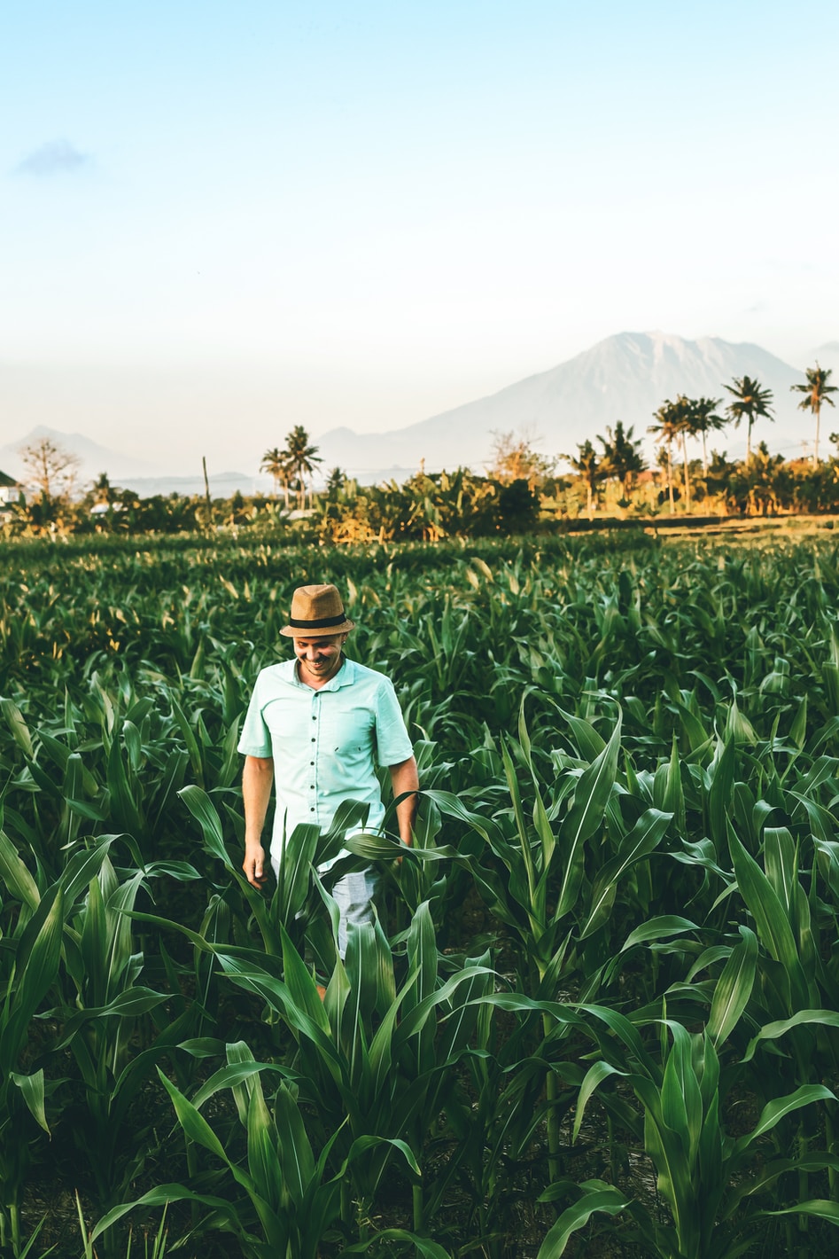
Helping farmers
become more efficient
We aim to help farmers achieve higher yields, at lowers costs,
while reducing environmental impact.
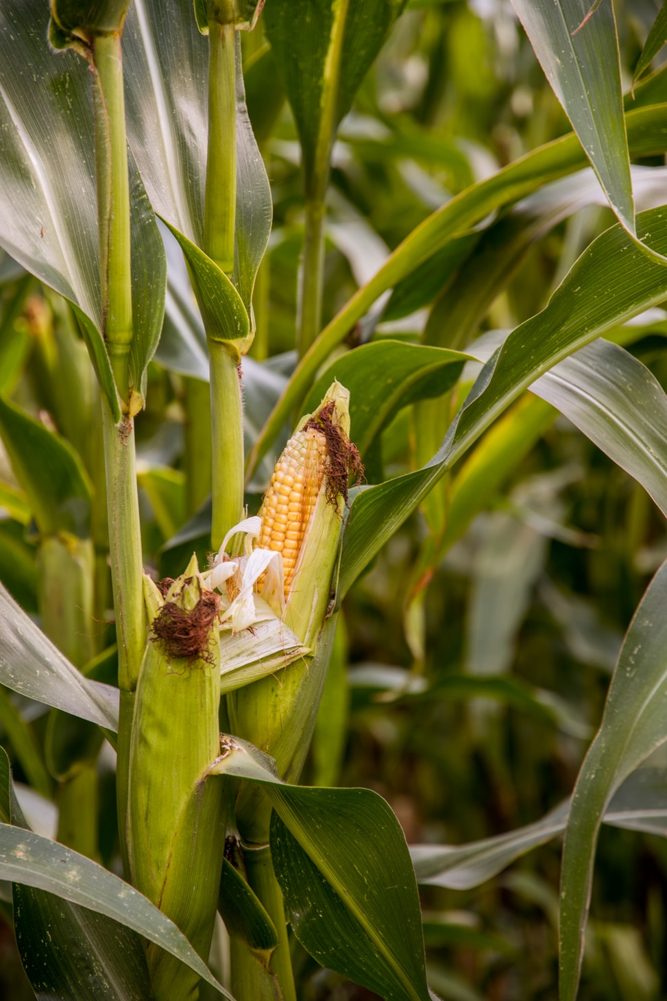
Precision Ag results in higher yields at lower costs.
PAGAF makes this capability free to all farmers.
Start by identifying the fields you want to manage. Upload your existing GIS files or easily draw your fields using our interactive map.
Select the crop type and the analysis you wish to complete. Easily make your choice from our curated options and proceed with the necessary assessments.
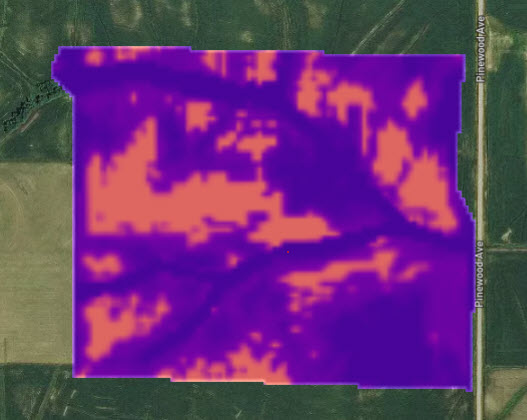
Once the analysis is complete, download the map and upload it to your tractor for use. Ensure precise application based on the insights gathered.
We aim to help farmers achieve higher yields, at lowers costs,
while reducing environmental impact.
Facing global climate change, economic uncertainties, a growing population, and more people moving to urban areas, technology is required to ensure our food supplies. Precision Ag is a proven approach, but there are barriers to access: cost, complexity, vendor lock, etc. The mission of PAGAF is to make Precision Agriculture capabilities available to any farmer who wishes to use it, at no cost.
...And is powered by Open-Source Technology